Log in
All resources
Create a design
603 Free Images of Island Kingdom
united kingdom
bibliothèque nationale de france
england
historical
landscape
nature
uk
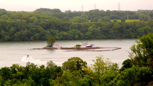
norfolk
norfolk island
islands
chartae orarum marinarum partim normandiae, partum britanniae, et insularum circa eas sitarum - lucas io(ann)es aurigarius inventor ; ioannes a doetecu. fecit - btv1b531567357
bibliothèque nationale de france
chartae orarum marinarum partim normandiae, partum britanniae, et insularum circa eas sitarum - lucas io(ann)es aurigarius inventor ; ioannes a doetecu. fecit - btv1b531567357
bibliothèque nationale de france
people
food
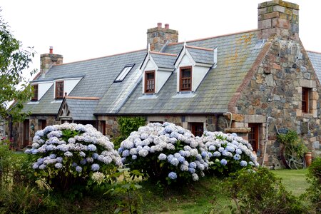
building
flower
sir martin frobisher (cornelis ketel - bodleian libraries, university of oxford)
mannerism
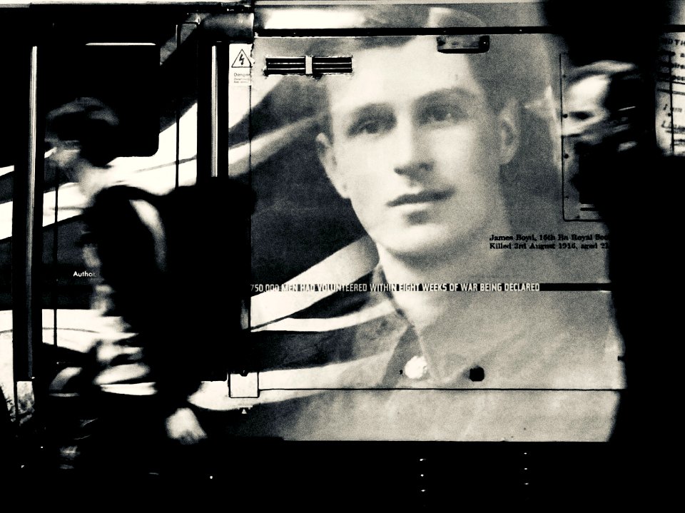
imperial war museum first world war artwork
donald maxwell
caricatures of the united kingdom
1824 cartoons
animals
nature
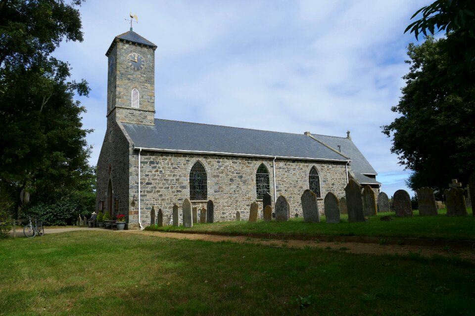
architecture
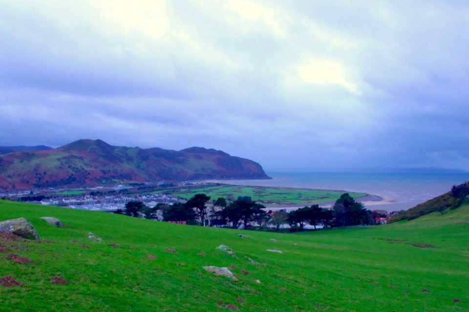
england
landscape
water
maps by pieter mortier
maps from gallica
fashion
house
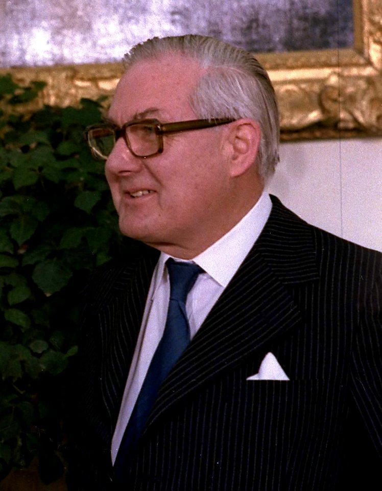
people
man
black
girl
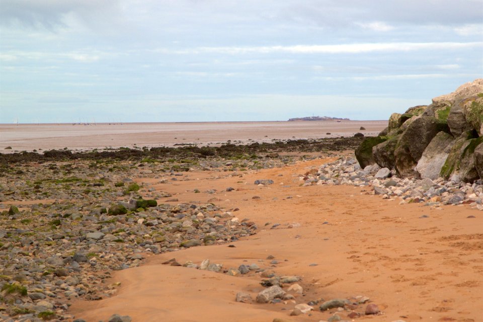
water
roads
water
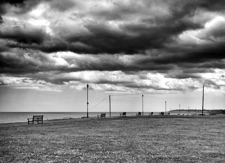
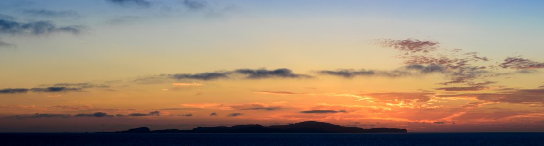
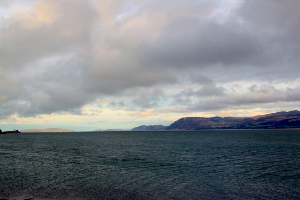
sea
clouds
black
landscape
skyline
17th-century maps of crete
old maps of candia
carte particulière des costes de l'afrique qui comprend le royaume de cacheo, le province de gelofo etc. - btv1b8595501g
maps by pieter mortier
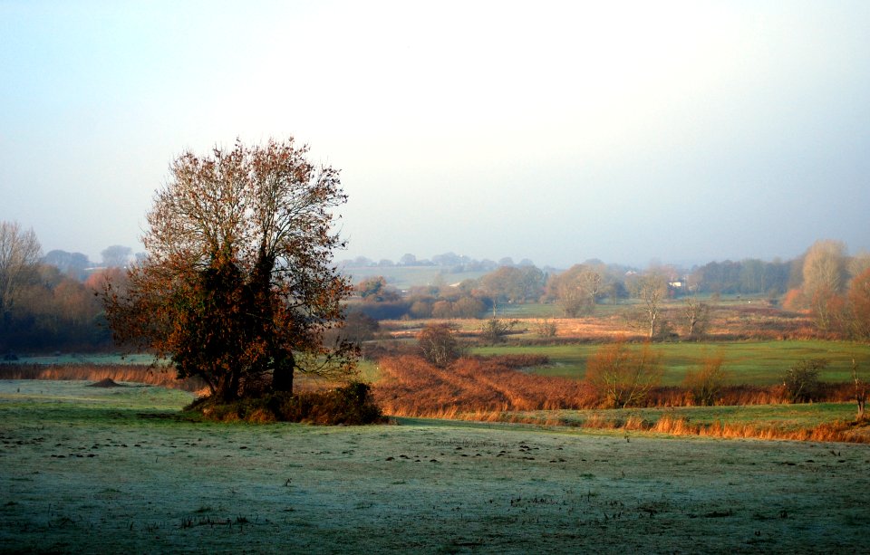
landscape
tree
nature
plants
ships named blazer
alfred j. jansen
considérations géographiques et physiques sur les nouvelles découvertes au nord de la grande mer
1755 maps of north america
beschrijvinghe van de zee custen van vlanderen, ende picardien, beghijnnende van nijeupoort tot diepen, met de vlaemsche bancken, begrepen de engte tusschen engelandt ende vranckrijk, twelckmen de hooffden... - btv1b53211568c
bibliothèque nationale de france
beschrijvinghe van de zee custen van vlanderen, ende picardien, beghijnnende van nijeupoort tot diepen, met de vlaemsche bancken, begrepen de engte tusschen engelandt ende vranckrijk, twelckmen de hooffden... - btv1b53211568c
bibliothèque nationale de france
1640s maps of ireland
baroque
beschrijvinghe van de zee custen van vlanderen, ende picardien, beghijnnende van nijeupoort tot diepen, met de vlaemsche bancken, begrepen de engte tusschen engelandt ende vranckrijk, twelckmen de hooffden... - btv1b53211568c
bibliothèque nationale de france
considérations géographiques et physiques sur les nouvelles découvertes au nord de la grande mer
eso island
considérations géographiques et physiques sur les nouvelles découvertes au nord de la grande mer
eso island
collections of musée de la vie romantique
romanticism
prints, drawings and watercolours of the royal museums greenwich
19th-century sailing ships in paintings
landscape
skyline
charles meynier
salon of 1800
17th-century maps of the british isles
maps by abraham ortelius
ocean
sea
england
project
17th-century maps of scotland
maps of islay
considérations géographiques et physiques sur les nouvelles découvertes au nord de la grande mer
hokkaido in art
paintings in the national maritime museum, london
baroque
pierre-charles canot
hervey smyth
historical
history
statues
history
cartouches by willem and johannes blaeu
bibliothèque nationale de france
mapa general de españa (1802)
considérations géographiques et physiques sur les nouvelles découvertes au nord de la grande mer
1750s maps of the russian empire
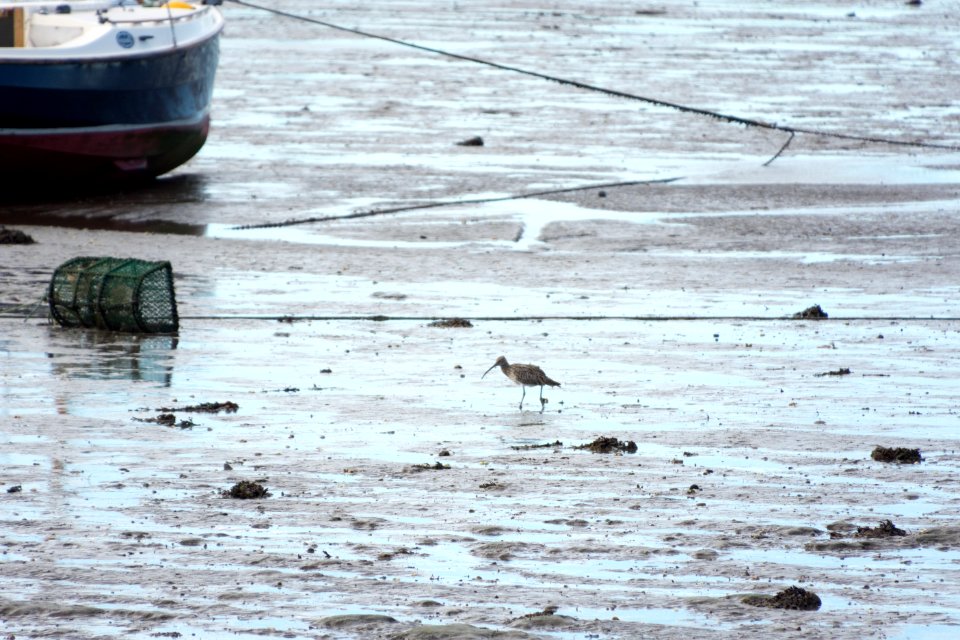
clouds
light
animals
bird
history
brown
maps by willem and johannes blaeu
17th-century maps of bermuda
considérations géographiques et physiques sur les nouvelles découvertes au nord de la grande mer
isla de los estados
history
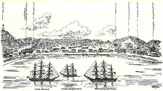
islands
history
islands
vehicle
water
considérations géographiques et physiques sur les nouvelles découvertes au nord de la grande mer
old maps of the yellow sea
considérations géographiques et physiques sur les nouvelles découvertes au nord de la grande mer
isla de los estados
paintings in the mas museum aan de stroom
history of nagasaki
prints in the royal collection of the united kingdom
robert dodd
historical map collection
maps by emanuel bowen
human
ww1
1750s maps of california
philippe buache
building
skyline
old maps of plymouth and devonport
16th-century maps of england
frank leslie's illustrated newspaper, 1856
nicolas françois guérin
landscape
building
1799 maps of italy
maps by john cary
maps of galicia by mercator-hondius
salomon rogiers
maps by jodocus hondius
maps by john speed
1810s maps of the near east
maps by john cary
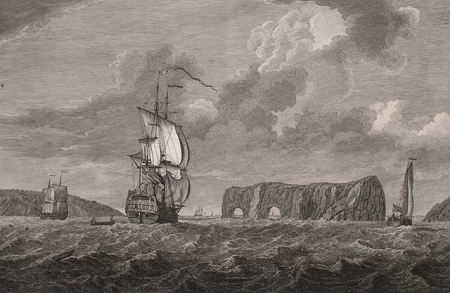
landscape
rock
1810s maps of the near east
maps by john cary
maps of galicia by mercator-hondius
maps of the iberian peninsula by mercator-hondius
maps by pieter van der keere
1800s maps of the iberian peninsula
maps by john cary
building
travel
victoria of the united kingdom and prince albert
the royal mausoleum, frogmore
1800s maps of denmark
1801 maps of europe
landscape
building
historical
history
maps of the iberian peninsula by mercator-hondius
maps by pieter van der keere
1740s maps of the americas
1747 maps of north america
historical
history
18th-century maps of cornwall
maps by thomas kitchin
landscape
skyline
english-language maps
maps by john cary
winter
fun
19th-century unidentified engravers
the illustrated london news 1856
extracted images from - scans from cornell university library
geography of india
ships named river bird
paintings by lam qua
illustrations by william barnes wollen
the life and times of queen victoria
landscape
skyline
historical
history
extracted images from - scans from cornell university library
art of the united kingdom
landscape
skyline
malta by jean houël on voyage pittoresque
ġgantija in art
extracted images from - scans from cornell university library
1876 books from london
graves of monarchs
carlo marochetti
french-language maps
daniel de la feuille
prints by crispijn van de passe (i) in the rijksmuseum amsterdam
metamorfosen van ovidius (1600s)
building
animals
501 - 600 of 603
Next page
/ 7